Noddle's Island
One of the former Boston Harbor Islands that has disappeared into today’s East Boston, Noddle’s Island echoes Boston’s military and shipbuilding history.
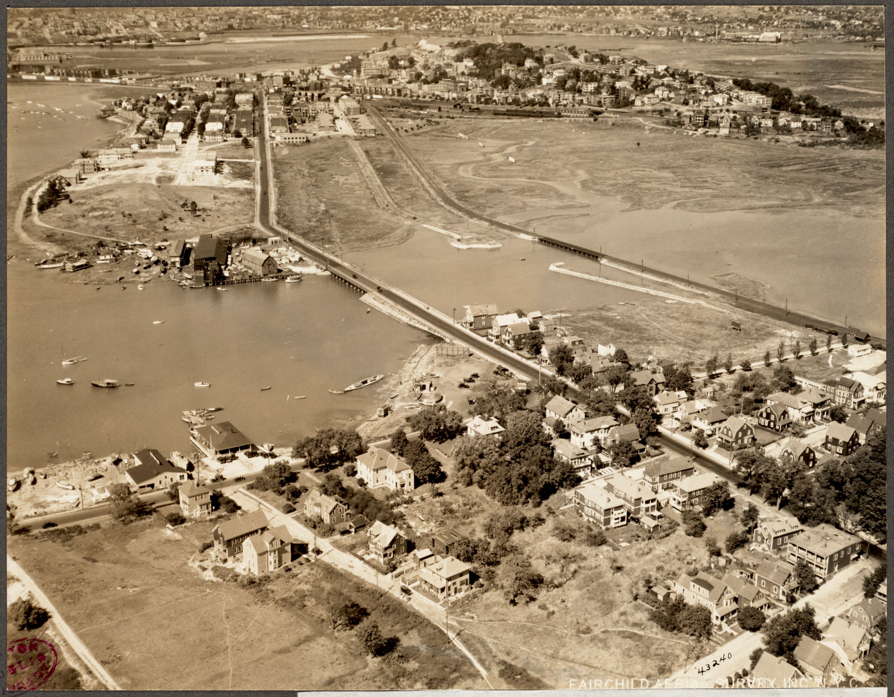
Part of the connected record of this place — 1 relationship link it into the wider graph, each one a thread worth pulling.
Open the full civic recordCurrent pulse, routes, recommendations, and memory
Now, then, future
Every object is temporal: what it feels like now, what it used to mean, and what it can become next.
quiet enough to notice details. Best now: one good detour.
1844: Most Holy Redemeer Church, Boston.
Future2026: America’s 250th — July 4, 2026.
How it feels right now
Indoor escapes within a few blocks.
Coffee, libraries, bookstores, and campus edges.
How strongly the nearby graph reads as campus life.
Fame, landmark pull, and visitor-facing assets.
Older records and historical edges around this object.
Different kinds of things hiding within a short walk.
Routes with a point of view
Chosen moves from here
Human recommendations
What this meant before
- Online
- Official site ↗
- Graph connections
- 1
In the graph 1 relationships — first-class data, not links
Explore Noddle's Island in the interactive Graph Explorer — click to expand every connection →Nearby what sits within a few minutes’ walk
East Boston
Joseph F. Fiandaca
Most Holy Redemeer Church
Noddle's Island is linked, through the graph, to East Boston — neighborhood, 1 min walk away. The kind of thread you only find by following the connections.
Keep exploring graph-powered — every path below is a real relationship, not a guess
One record, 1 framing cross-property publishing — never duplicated
How we know graph confidence — we explain our certainty, not just assert it
Schema.org JSON-LD — what answer engines read
{
  "@context": "https://schema.org",
  "@graph": [
    {
      "@type": "LandmarksOrHistoricalBuildings",
      "@id": "https://boston400.com/e/landmark-noddlesisland-6e661",
      "name": "Noddle's Island",
      "description": "One of the former Boston Harbor Islands that has disappeared into today’s East Boston, Noddle’s Island echoes Boston’s military and shipbuilding history.",
      "url": "https://boston400.com/e/landmark-noddlesisland-6e661",
      "image": {
        "@type": "ImageObject",
        "url": "https://www.nps.gov/common/uploads/cropped_image/F56C05C6-D7EB-F9FF-069C0E3CD975528C.jpg",
        "contentUrl": "https://www.nps.gov/common/uploads/cropped_image/F56C05C6-D7EB-F9FF-069C0E3CD975528C.jpg",
        "creditText": "Wikimedia Commons",
        "caption": "Noddle's Island"
      },
      "geo": {
        "@type": "GeoCoordinates",
        "latitude": 42.37006,
        "longitude": -71.03872
      },
      "mainEntityOfPage": "https://www.nps.gov/places/noddle-s-island.htm",
      "sameAs": [
        "https://www.nps.gov/places/noddle-s-island.htm"
      ],
      "citation": [
        {
          "@type": "CreativeWork",
          "name": "U.S. National Park Service (NPS API)"
        }
      ],
      "containedInPlace": {
        "@id": "https://boston400.com/e/east-boston"
      },
      "relatedLink": [
        "https://boston400.com/e/east-boston"
      ]
    },
    {
      "@type": "Place",
      "@id": "https://boston400.com/e/east-boston",
      "name": "East Boston",
      "url": "https://boston400.com/e/east-boston"
    }
  ]
}