Franklin Park
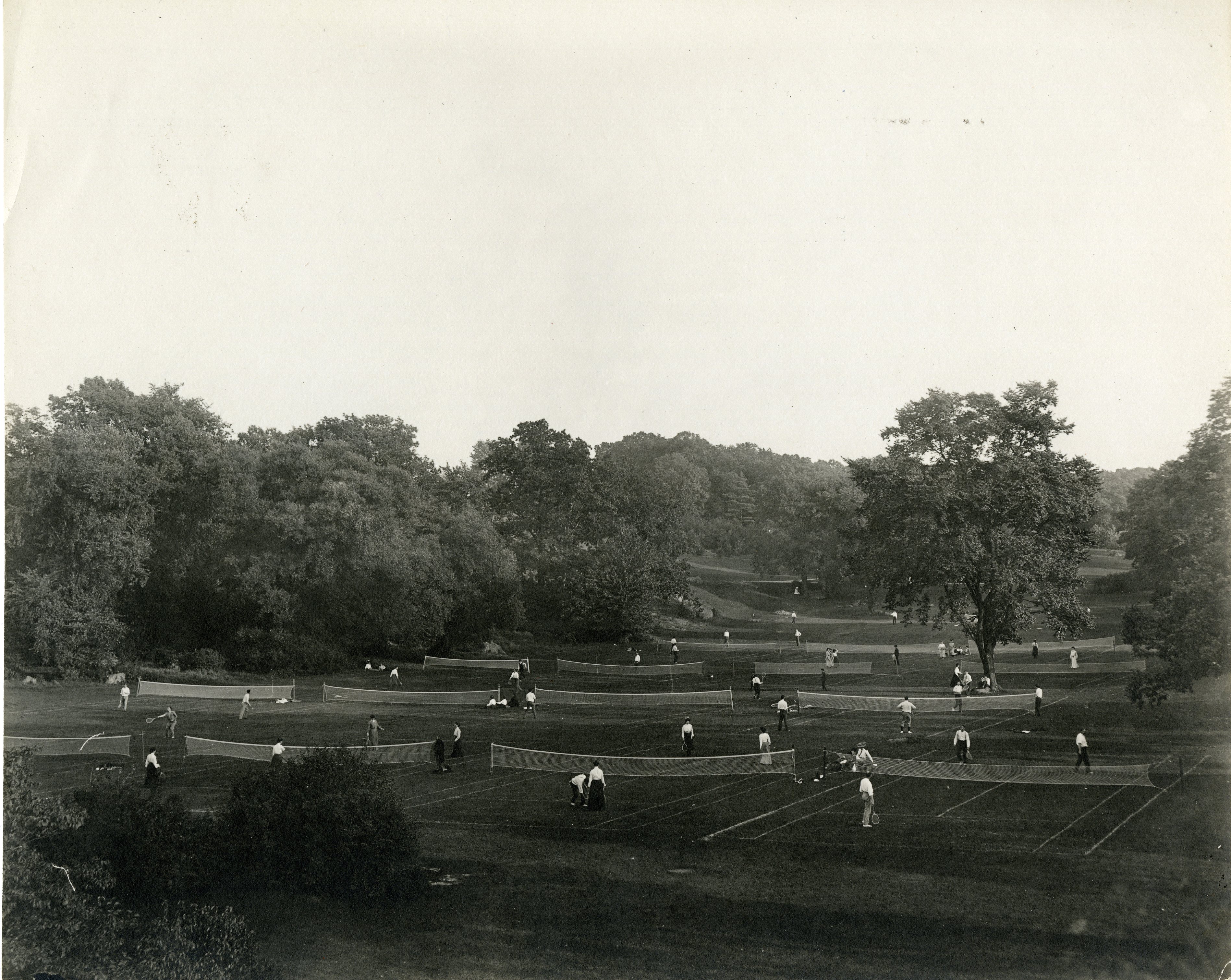
Olmsted’s 485-acre "great country park" — the crown of the Emerald Necklace, with the 1912 zoo, the White Stadium ovals, and woods he intended as the city’s lungs.
Part of the connected record of this place — 2 relationships link it into the wider graph, each one a thread worth pulling.
Open the full civic recordCurrent pulse, routes, recommendations, and memory
Now, then, future
Every object is temporal: what it feels like now, what it used to mean, and what it can become next.
quiet enough to notice details. Best now: a reset between louder stops.
1895: Holy Tabernacle Church, Boston.
Future2026: America’s 250th — July 4, 2026.
How it feels right now
Indoor escapes within a few blocks.
Coffee, libraries, bookstores, and campus edges.
How strongly the nearby graph reads as campus life.
Fame, landmark pull, and visitor-facing assets.
Older records and historical edges around this object.
Different kinds of things hiding within a short walk.
Routes with a point of view
Chosen moves from here
Human recommendations
What this meant before
- Established
- 1885
- Online
- Official site ↗
- Graph connections
- 2
In the graph 2 relationships — first-class data, not links
Explore Franklin Park in the interactive Graph Explorer — click to expand every connection →Nearby what sits within a few minutes’ walk
St. Mark's Episcopal Church
Holy Tabernacle Church
Franklin Park is linked, through the graph, to Boston — city, 4.3 mi away. The kind of thread you only find by following the connections.
Keep exploring graph-powered — every path below is a real relationship, not a guess
One record, 1 framing cross-property publishing — never duplicated
How we know graph confidence — we explain our certainty, not just assert it
Schema.org JSON-LD — what answer engines read
{
  "@context": "https://schema.org",
  "@graph": [
    {
      "@type": "Park",
      "@id": "https://boston400.com/e/franklin-park",
      "name": "Franklin Park",
      "description": "Olmsted’s 485-acre \"great country park\" — the crown of the Emerald Necklace, with the 1912 zoo, the White Stadium ovals, and woods he intended as the city’s lungs.",
      "url": "https://boston400.com/e/franklin-park",
      "image": {
        "@type": "ImageObject",
        "url": "https://www.nps.gov/common/uploads/cropped_image/A59E156C-CB5F-934C-E87E0722236250E3.jpg",
        "contentUrl": "https://www.nps.gov/common/uploads/cropped_image/A59E156C-CB5F-934C-E87E0722236250E3.jpg",
        "creditText": "Wikimedia Commons",
        "caption": "Franklin Park"
      },
      "geo": {
        "@type": "GeoCoordinates",
        "latitude": 42.3021,
        "longitude": -71.0867
      },
      "mainEntityOfPage": "https://www.nps.gov/places/franklin-park.htm",
      "foundingDate": "1885",
      "sameAs": [
        "https://www.nps.gov/places/franklin-park.htm"
      ],
      "citation": [
        {
          "@type": "CreativeWork",
          "name": "Boston Parks Department"
        },
        {
          "@type": "CreativeWork",
          "name": "Franklin Park Coalition"
        },
        {
          "@type": "CreativeWork",
          "name": "U.S. National Park Service (NPS API)"
        }
      ],
      "containedInPlace": {
        "@id": "https://boston400.com/e/boston"
      },
      "relatedLink": [
        "https://boston400.com/e/arnold-arboretum",
        "https://boston400.com/e/boston"
      ]
    },
    {
      "@type": "Park",
      "@id": "https://boston400.com/e/arnold-arboretum",
      "name": "Arnold Arboretum",
      "url": "https://boston400.com/e/arnold-arboretum"
    },
    {
      "@type": "City",
      "@id": "https://boston400.com/e/boston",
      "name": "Boston",
      "url": "https://boston400.com/e/boston"
    }
  ]
}